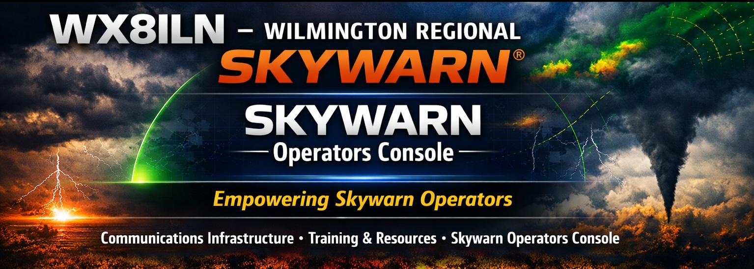
Creating the Skywarn Operators Console App
WX8ILN | May 14, 2026
For years, we used a simple Word document to log our activities inside the NWS office. You had to click in certain areas, there were limits on what you could enter, and it never really fit the way we worked. It served as our redundant recordkeeping, but it wasn’t ideal. We had talked for years about building something better, but like most things, you don’t think about it until you’re actually in the office trying to make the old system work.
I retired in November after 42 years as a programmer, and I found myself missing the coding process. That’s when we finally decided to get started. We knew we wanted to pull alerts directly from the NWS API — but once we dug into the API, we realized we could do a lot more. That’s how the Alerts and Incidents tabs were born. From there, we knew we needed to search current and past incidents, filter them, and keep everything organized, which led to the Incident Log tabs.
Spotter reports had always been a pain point. We’d take reports over the radio, write them down on paper, and hand them to the meteorologist — or leave them on the desk if they were busy. Some of us typed faster than we wrote (and in my case, being left‑handed but writing with my right hand, typing was definitely more readable). But again, why do the same work three times? So we designed the Spotter Report tab. Now we could enter the report once, print it, and also format it for Slack so it could be pasted directly into the channel.
As we started showing the app to other users, we learned that our spotter reports weren’t structured the way NWS preferred. So we added the official reporting types and the detailed information they needed. One issue that always came up on the radio was location — “Where exactly is the event?” We found an open‑source map that let us point‑and‑click a location and automatically grab the GPS coordinates. Much better. That completed our first release.
Next came the question: how do we quickly share operator changes and setup information? That led to the creation of the Portal, which added a lot of useful features.
Then we thought, “What if we could view the latest NWS weather map right inside the application?” That turned out to be a great addition, and it became part of version 2.
And that brings us to today. We’re still looking at enhancements we can add — always keeping in mind that this will remain a free tool. Thanks to the Clinton County Amateur Radio Association (CCARA), we have web space for the portal, a Wilmington SKYWARN webpage, and other support that makes this possible.
Thanks to everyone who tested, suggested improvements, and put up with our questions along the way. I think we’ve built something genuinely useful that can help support your SKYWARN operations.
Dave – K8DEG